AgriLife Extension disaster team conducts agricultural loss assessments
Recent storms, tornado caused damage in Red River, Morris, Lamar counties
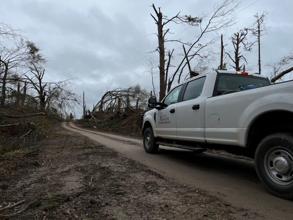
The Texas A&M AgriLife Extension Service Disaster Assessment and Recovery, DAR, unit recently deployed a team to conduct agricultural damage assessments in three northeast Texas counties in response to tornadoes and severe weather.

DAR agents completed assessments in Red River, Morris and Lamar counties in response to a State of Texas Assistance Request, STAR.
Gov. Greg Abbott has requested federal assistance after the North Texas storms and tornadoes on Nov. 4. Total property losses to homes and businesses are estimated at more than $11 million.
“Our DAR agents are a vital part in serving the people of Texas during time of need, and the North Texas storms caused considerable damage and loss to homeowners, agricultural producers and associated businesses,” said Monty Dozier, Ph.D., DAR unit director, Bryan-College Station.
The DAR team supports the emergency response efforts statewide as part of The Texas A&M University System Keeping Texas Prepared initiative. DAR works in coordination with the Texas Division of Emergency Management and other groups from The Texas A&M University System including the Texas A&M Engineering Extension Service and Texas A&M Forest Service. Additionally, they provide support to national response organizations such as the Federal Emergency Management Agency, FEMA.
DAR delivers the details

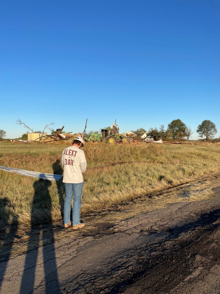
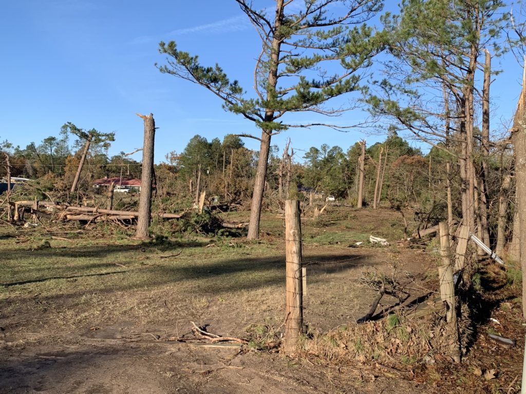
A request from Red River County was received Nov. 9 for assistance to conduct comprehensive fence loss damage surveys from tornadoes and severe weather occurring on Nov. 4. Five DAR agents were deployed to conduct the assessment, headed by Bryan Davis, DAR team lead, Seguin.
“Upon receiving the request, we deployed the next day,” Davis said. “From there we met with the Red River County emergency manager. Their needs were to get a comprehensive estimate of fence that was destroyed throughout Red River County. We worked off of maps and county roads. No private property was entered.”
Davis said two teams of two-member strike team agents were assembled with one team assigned to the north and the other to the south.
“We were working along the main path of the storm,” Davis said. “We then worked until we met in the middle.”
The teams used both visual assessments and drone technology. The GIS team in AgriLife Extension’s Texas Community Watershed Partners office in Houston helped delineate the track of the tornado in each county to help expedite the inspection process. Calculated loss estimates were entered into the AgStat data system by landowners, part of the iSTAT damage survey portal used by Texas Division of Emergency Management.
A second STAR request was received from Morris County for DAR assessments of fencing, livestock and equipment damage on Nov. 10. Another STAR request was received from Lamar County for DAR assistance with fence line damage estimates.
Final damage estimates as measured from exterior fence lines of county roads totaled:
- Red River County, 16.18 miles of destroyed fences.
- Morris County, 1.22 miles of fences, five agricultural structures.
- Lamar County, 3.5 miles of fences.
DAR team members completed assessments in Red River and Morris counties on Nov. 11. Assessments in Lamar County were completed on Nov. 12 and the agents were demobilized.
“Whenever there is a need from citizens or the public, we do not want to disrupt the recovery process,” Davis said. “Every disaster starts local and ends local. We are mindful and respectful of the needs of Texans and want to serve as effectively and efficiently as possible.”


