
‘Sentinel landscapes’ keep quiet vigil against encroachment
New short documentary shows how private landowners help support the military mission
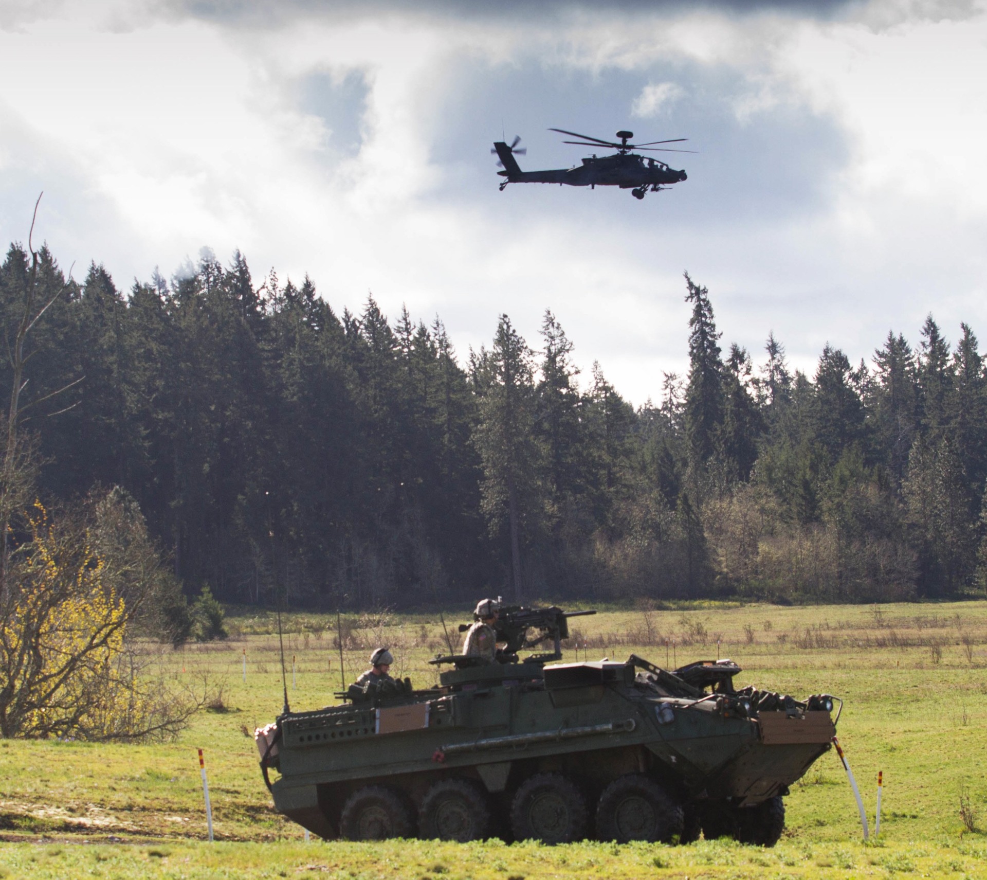
The U.S. military needs space to train personnel, test weapons and for other activities vital to maintaining its mission. To ensure this space is available and neighboring lands are compatible with their mission, the U.S. Department of Defense, DoD, relies on what are known as sentinel landscapes.
Sentinel landscapes are natural and working lands well suited to buffer defense facilities from land use incompatible with the military’s mission. Developing these buffer zones typically requires the cooperation of private landowners working in collaboration with the DoD and other federal departments involved in that effort.
Through its Military Land Sustainability, MLS, program, the Texas A&M Natural Resources Institute, NRI, is also involved in helping establish these sentinel landscapes.
What makes a sentinel landscape?
Sentinel landscapes are vital land, air and sea spaces DoD relies upon for fulfilling the military mission.
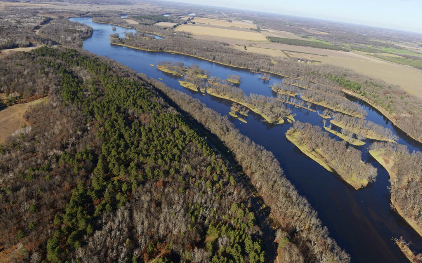
While sentinel landscapes were once in more remote locations, they are now being increasingly encroached upon by urban sprawl, housing developments, retail outlets and other factions vying for space. This has led to a corresponding loss of agricultural and ranch lands, forests, wildlife habitat and open spaces.
The short documentary, “The Sentinels” on the Sentinel Landscapes Partnership website, showcases the innovative and impactful work being done to establish and maintain sentinel landscapes throughout the U.S. The documentary examines several of these landscapes across the country as well as the unique collaboration between the federal government, military installations and private landowners to achieve mutually beneficial objectives.
Why are sentinel landscapes important?
“The Department of Defense, Department of the Interior and U.S. Department of Agriculture view sentinel landscapes as areas that are well suited to buffer defense facilities from land use that does not support the military’s mission,” said Bruce Beard, NRI associate director for policy and head of its MLS program.
Once a location is identified as a sentinel landscape, federal departments work with local and area partners to equip private landowners with the resources necessary to carry out sustainable management practices compatible with the military mission.
“Sustainable management practices such as farming, ranching and forestry not only offer economic and ecological benefits, they also help insulate defense facilities from incompatible development that can constrain their ability to conduct necessary testing and training activities,” Beard said.
The Military Land Sustainability program
The MLS program supports test and training activities on DoD lands through a combination of land management and regional planning, research and policy initiatives and innovations, and education and outreach.
“In some instances, development near a military installation can present certain issues such as safety concerns or excessive light at nighttime,” Beard said. “On the other hand, noise and dust from military training exercises can be a nuisance to those in housing or commercial developments near the installation.”
He said while large rural landscapes such as farms, ranches and forestland are vital to sustaining agricultural and timber productivity and protecting wildlife habitat, they are also good neighbors to military bases.
“Private landowners who maintain these types of lands near military installations have in some cases been doing so for decades and without due recognition,” Beard said. “In their own way, they have significantly contributed to the nation’s defense.”
Beard said the institute’s MLS program provides management expertise in programs and policy development where national defense requirements and natural resource interests intersect.
“The institute understands and supports the unique relationship between natural resources and national defense, and we are assisting these federal departments in implementing sentinel landscapes,” he said.
The NRI has supported the Readiness and Environmental Protection Integration, or REPI, program of the Department of Defense for many years, Beard noted.
“Our work on the sentinel landscapes effort through our Military Land Sustainability program has been an outgrowth of that support,” he said.
Sentinel Landscapes Partnership
Activities of the institute’s MLS program support the Sentinel Landscapes Partnership, a collaborative project of federal entities.
“Through this partnership, the federal departments involved are incentivizing private landowner cooperation toward maintaining working lands, implementing conservation practices beneficial to wildlife and promoting compatible land-use practices,” said Roel Lopez, Ph.D., Texas A&M NRI director.
Lopez said the goals of the partnership include empowering private landowners, strengthening military readiness, preserving natural resources, supporting agricultural activity and increasing access to recreation.
Partners work toward this goal by connecting private landowners with voluntary state and federal assistance programs, educational opportunities, technical assistance and funding. A Sentinel Landscapes Federal Coordinating Committee works to better coordinate the delivery of federal programs to interested landowners.
According to partnership data, efforts have resulted in the permanent protection of more than 240,000 acres throughout the U.S. and the implementation of sustainable land management practices on an additional 1.6 million acres near high-value military testing and training areas.
Conservation easements, etc.
One particularly effective aspect of this land and natural resource management has been the use of conservation easements, Lopez said.
“A conservation easement is a voluntary agreement between a landowner and a qualified nonprofit land trust or government entity through which the landowner commits to minimize or avoid certain types of non-agricultural development on their property by selling or donating certain property rights,” Lopez explained.
He said conservation easements have been an effective tool used by land trusts, government agencies and conservation groups to protect private lands by permanently limiting its uses.
“They offer a voluntary alternative to assist private landowners in keeping their lands intact for future generations, while also promoting good stewardship and land management practices,” he said.
Lopez said institute publications on the value of conservation easements to agriculture, water and wildlife in Texas can be instructive to other states as well.
He also noted that in addition to the MLS program, the institute has programs relating to land trends and demography, wildlife conservation and mitigation, and private land stewardship.
“Many of the objectives of these other programs are also compatible with those of the Military Land Sustainability program,” Lopez said. “We also bring the knowledge and expertise from those programs in a synergistic approach to support the MLS program’s twin imperatives of military readiness and land stewardship.”


